Tesla develops in-house mapping system to improve driver assistance
The automaker is moving away from third-party navigation data to address persistent issues with speed limits and parking in its Full Self-Driving software.
By Arjun Patel ·
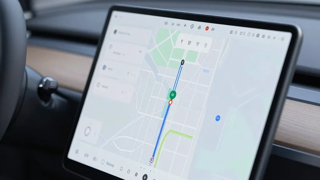
Automakers have long debated the necessity of detailed cartographic data for autonomous vehicles, but Tesla is now preparing to build its own maps to resolve specific limitations in its driving software. This development marks a significant strategic adjustment for the company, which has previously relied on external navigation providers for its Full Self-Driving system.
During the third quarter 2026 earnings call, Tesla’s Vice President of AI, Ashok Elluswamy, outlined the new initiative. He confirmed that the company is developing a proprietary mapping and navigation architecture powered by artificial intelligence. This system will utilize data collected from the collective fleet to create more accurate environmental models. Elluswamy stated that the company should not be dependent on external maps, emphasizing the need for internal control over navigation data.
The decision to create in-house maps follows a direct question from a retail investor during the shareholder question and answer session. The investor noted that mapping remains a common issue for the Full Self-Driving software, specifically citing problems with reading speed limits, executing parking maneuvers, and selecting typical routes. The investor asked why Tesla continued to rely on third-party data rather than creating its own solution. Elluswamy responded by detailing the new AI-based approach that will learn from the fleet and adapt to individual driver preferences.
The rollout of this technology is planned to coincide with the release of Full Self-Driving version 15. Initially, the system will manage the beginning and end of trips. Over the following months, it is expected to take over broader navigation functions, including destination handling and parking. This phased approach allows the company to integrate the new mapping layer gradually while the system continues to learn from real-world driving data.
This shift represents a notable departure from the company’s historical stance. In 2019, CEO Elon Musk argued that high-precision lane maps made self-driving systems brittle and unreliable. He described reliance on such maps as a significant error and suggested that a vision-only approach was superior. At the time, Tesla dismissed the use of lidar and detailed maps as unnecessary crutches, promising that cameras and artificial intelligence could handle driving tasks in any environment. Seven years later, the company is implementing a map layer to correct errors that its vision system frequently makes.
While Tesla has always used standard navigation maps, the new system aims to address deeper environmental understanding. Current versions of the software still struggle with basic road information, such as correctly identifying speed limit signs. Recent findings in Belgium indicated that the system often misread speed limits in urban zones, leading to excessive speeds. In the United States, regulatory bodies are also examining claims that robotaxi vehicles have failed to slow down in active school zones. These issues highlight the need for more reliable data on road rules and conditions.
The new approach brings Tesla’s methodology closer to that of its competitors, such as Waymo. Waymo builds maps by driving sensor-equipped vehicles through service areas before launching operations. Tesla is now adopting a similar concept where its fleet collects data to feed a central map that improves driving performance for all vehicles. The primary technical difference remains that Waymo utilizes lidar sensors, whereas Tesla relies on cameras. However, both companies are now using fleet-collected data to maintain and update their respective cartographic assets.
This development also aligns with the current operational model of Tesla’s robotaxi service. The service operates within specific geofenced areas in various cities, requiring detailed local knowledge. While Tesla is not currently producing centimeter-level high-definition maps, the new fleet-built map has the potential to become increasingly detailed over time. The company aims to use this data to enhance the reliability of its autonomous driving capabilities in these restricted zones.
The integration of in-house mapping is expected to address some of the most common user complaints regarding the Full Self-Driving system. By controlling the data pipeline, Tesla can potentially react faster to changes in road conditions and traffic rules. This move underscores the evolving nature of autonomous technology, where pure vision-based systems are increasingly supplemented with structured data to improve safety and accuracy. As the company continues to refine its software, the balance between visual processing and map data will remain a critical factor in its long-term success.
Source: Electrek